
Super El Niño Is Now Breaking Into the Atmosphere as July Forecasts Show a Pattern Shift for the U.S. and Canada – Severe Weather Europe
Super El Niño Is Now Breaking Into the Atmosphere as July Forecasts Show a Pattern Shift for the U.S. and Canada Severe Weather Europe
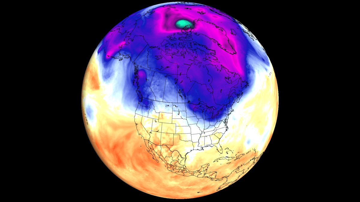
Super El Niño is now breaking into the atmosphere, with Summer to Fall forecasts showing a major weather pattern shift across North America A powerful Super El Niño is rapidly developing in the tropical Pacific, and the first clear atmospheric response is already showing up in the weather patterns. Latest ocean and forecast data show the event strengthening toward rare intensity, with the atmospheric signal already visible in the analysis and forecast data. June already produced a pattern similar to past Super El Niño years, with temperature and pressure anomalies emerging across the United States and Canada. The July forecast now shows the next phase, as the Pacific signal deepens and begins to shape the global weather.
In this article, we look at the latest ocean data, atmospheric forecasts, and historical Super El Niño patterns to track how this event is rapidly spreading its influence in the atmosphere. You will also see what the July forecast suggests for North America, and why late summer into Fall could bring an amplified pattern across the United States, Canada, and now also Europe. All official predictions and analysis shows that an El Niño event will be the main global weather driver in 2026/2027. This is a warm phase of the ENSO region in the equatorial Pacific Ocean that alternates between warm and cold
Source & Attribution
This One Place News story was acquired from news.google.com. OPN retains the source link and provenance for newsroom review.
Filed Under
Weather