
National study pinpoints states with steepest warming trends since 1980 – Phys.org
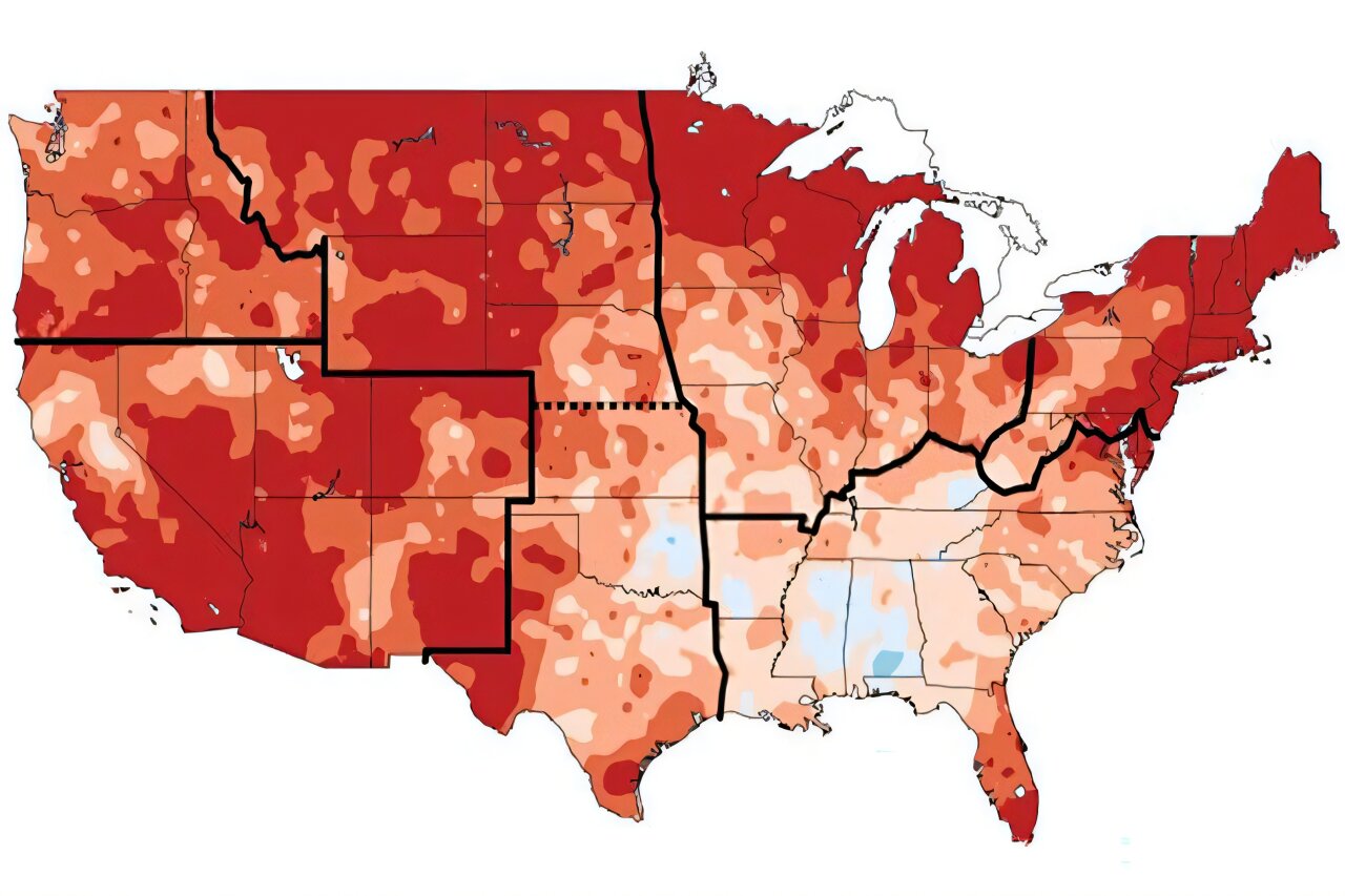
National study pinpoints states with steepest warming trends since 1980 Phys.org
Global warming, the observed increase in Earth's average global surface temperature since preindustrial times (1850–1900), currently stands at around 1.63 degrees Celsius. While this number is expected to continue to rise, local temperatures will not go up uniformly around the world. In regions where warming trends are most pronounced, local adaptation and resilience measures will be especially critical to minimizing risks to ecosystems, agricultural productivity, the built environment, human health and economic well-being. This article has been reviewed according to Science X's editorial process and policies. Editors have highlighted the following attributes while ensuring the content's credibility: To that end, a new open-access study in the journal Scientific Data identifies the highest-risk regions for warming within the United States.
Using data from well-known, high-resolution climate and weather data sets (MERRA2 and ERA5) covering the years 1980–2022, researchers at the MIT Center for Sustainability Science and Strategy (CS3) report global warming–attributed trends in monthly averaged maximum daily temperature for every U.S. state. The study finds that Alaska, Utah, New Mexico, Colorado and Nevada have experienced the strongest average warming trends; the weakest occurred in Hawaii, Montana, North Dakota, South Dakota and Arkansas. Across the country, warming trends were most pronounced during the summer and fall, particularly in September and November. Alaska has the highest historical maximum daily temperature warming (an average
Source & Attribution
This One Place News story was acquired from news.google.com. OPN retains the source link and provenance for newsroom review.
Filed Under
U.S. News