Source: DW News
Summary
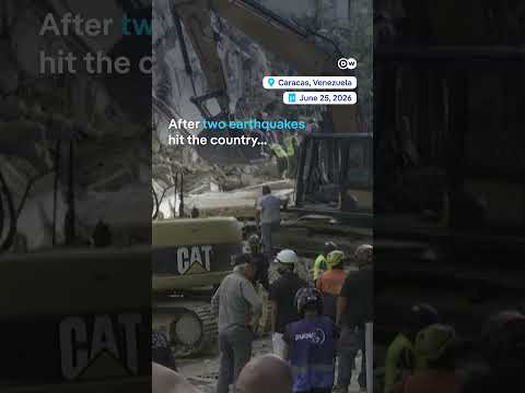
Recent satellite images depict the extensive destruction caused by two powerful earthquakes in Venezuela, measuring 7.2 and 7.5 in magnitude. As rescue efforts continue, the impact on the affected communities remains critical.
Why It Matters
The earthquakes have devastated infrastructure and homes, complicating ongoing humanitarian efforts in Venezuela, a country already facing significant challenges. Accurate satellite imagery is vital for assessing damage and coordinating effective rescue operations, underscoring the importance of technology in disaster response.