
LIVE UPDATES: High tides continue to submerge parts of Bay Area with more flooding expected – ABC7 Bay Area
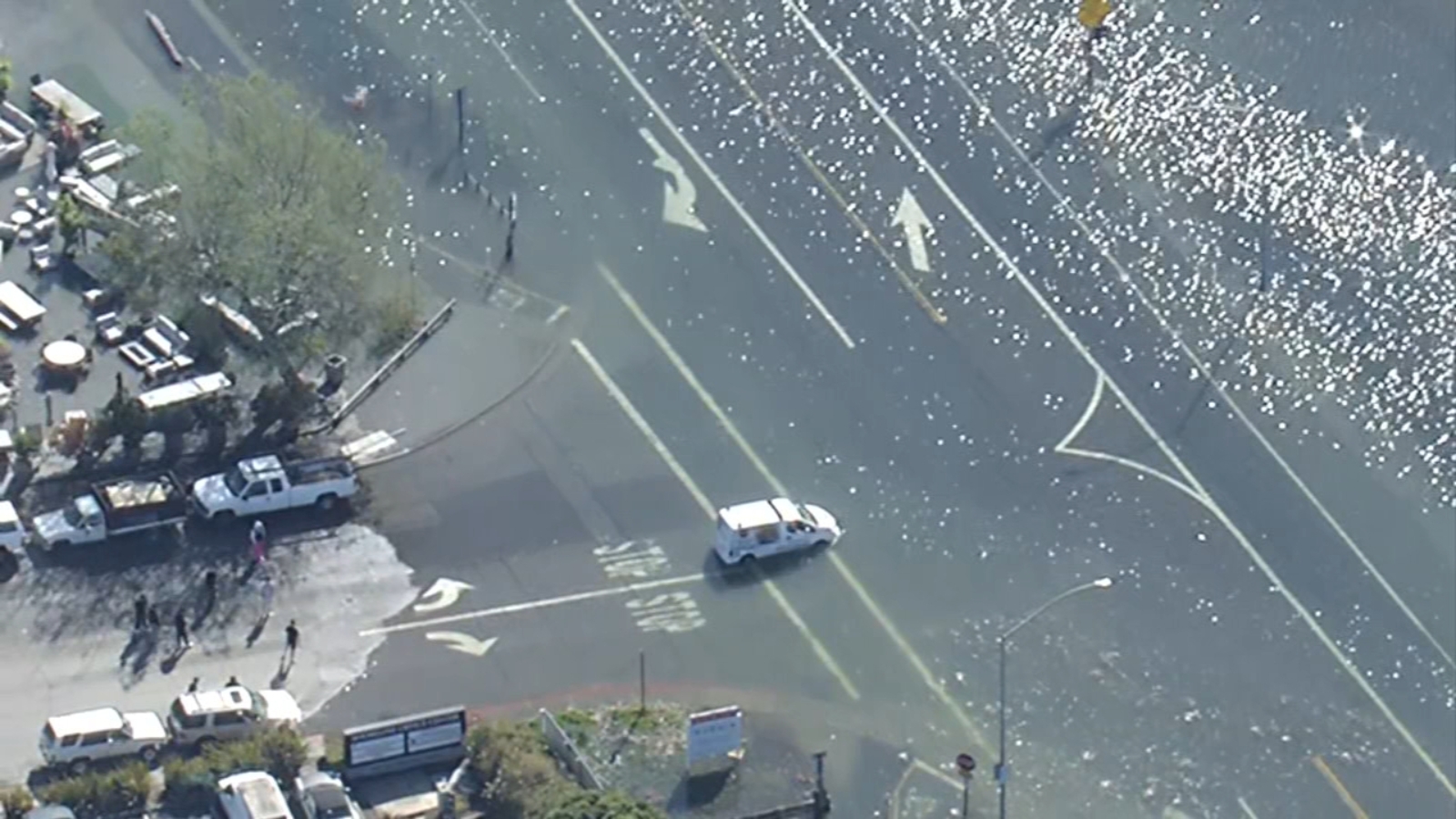
LIVE UPDATES: High tides continue to submerge parts of Bay Area with more flooding expected ABC7 Bay Area
Caltrans is studying how rising sea levels, king tides and stronger storms could affect the Bay Bridge and surrounding infrastructure as climate projections point to increasing flood risks in the coming decades. The agency is focusing particular attention on low-lying areas near the Bay Bridge Toll Plaza, where flooding occurred earlier this year and where future sea level rise could affect traffic and transportation access. "It's projected in the next 75 years there will be up to six feet of sea level rise," said Randolph Belle with RBA Creative, a firm hired to do community outreach for a long-term study on rising sea levels in the Bay Area. "At about three feet…during a major weather event, the approach to the bridge is impacted." Caltrans says the Bay Bridge is the third-busiest bridge in the country, carrying as many as 280,000 vehicle trips each day.
Officials warn that rising waters could eventually affect parts of the bridge approach during major weather events. On Wednesday, Caltrans led residents and community groups on a tour of vulnerable areas near the Bay Bridge Toll Plaza. In January, a low-lying section near the plaza experienced minor flooding. "The area before the toll plaza, Radio Beach," Bart Ney, Caltrans spokesman said. "That particular area is a low level area that we want to be focused on
Source & Attribution
This One Place News story was acquired from news.google.com. OPN retains the source link and provenance for newsroom review.
Filed Under
Local News – San Francisco • Weather