
May 16, 2025 Severe Weather – National Weather Service (.gov)
May 16, 2025 Severe Weather National Weather Service (.gov)
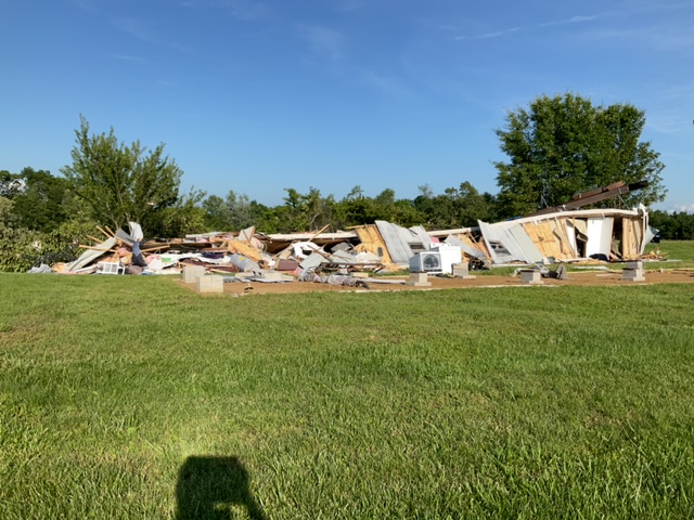
On the evening of May 16th, 2025, supercells developed over central Missouri and tracked through Kentucky. These storms eventually grew upscale into a QLCS. Both supercells and the QLCS brought tornadoes, wind damage including a maximum wind speed of 82 mph at the Louisville Airport and very large hail. Select a tornado from the table to zoom into the track and view more information. The default table view is limited to 8 tracks, but can be scrolled by a mouse wheel or dynamically expanded. Additionally, the table can fill the entire window by clicking the small circular expanding arrow icon at the very top right of the table and returned to its original size by clicking the button again.
The side information panel that opens over the map can be closed using the "X" on the upper right corner of the pop-up. Zoom into the map and click damage points to see detailed information and pictures from the surveys. NOTE: times shown below are local to your device's time zone. The Enhanced Fujita (EF) Scale classifies tornadoes into the following categories: A supercell moving across the entire state of Kentucky brought up to 3 inch hail. Southern Kentucky measured 3 to 4 inches of rainfall from this event which lead to minor flooding along the Green River. A deep, closed
Source & Attribution
This One Place News story was acquired from news.google.com. OPN retains the source link and provenance for newsroom review.
Filed Under
Weather