
Imperial Beach heads into El Niño facing flood risk. Scripps forecasting model could help predict the worst. – San Diego Union-Tribune
Imperial Beach heads into El Niño facing flood risk. Scripps forecasting model could help predict the worst. San Diego Union-Tribune
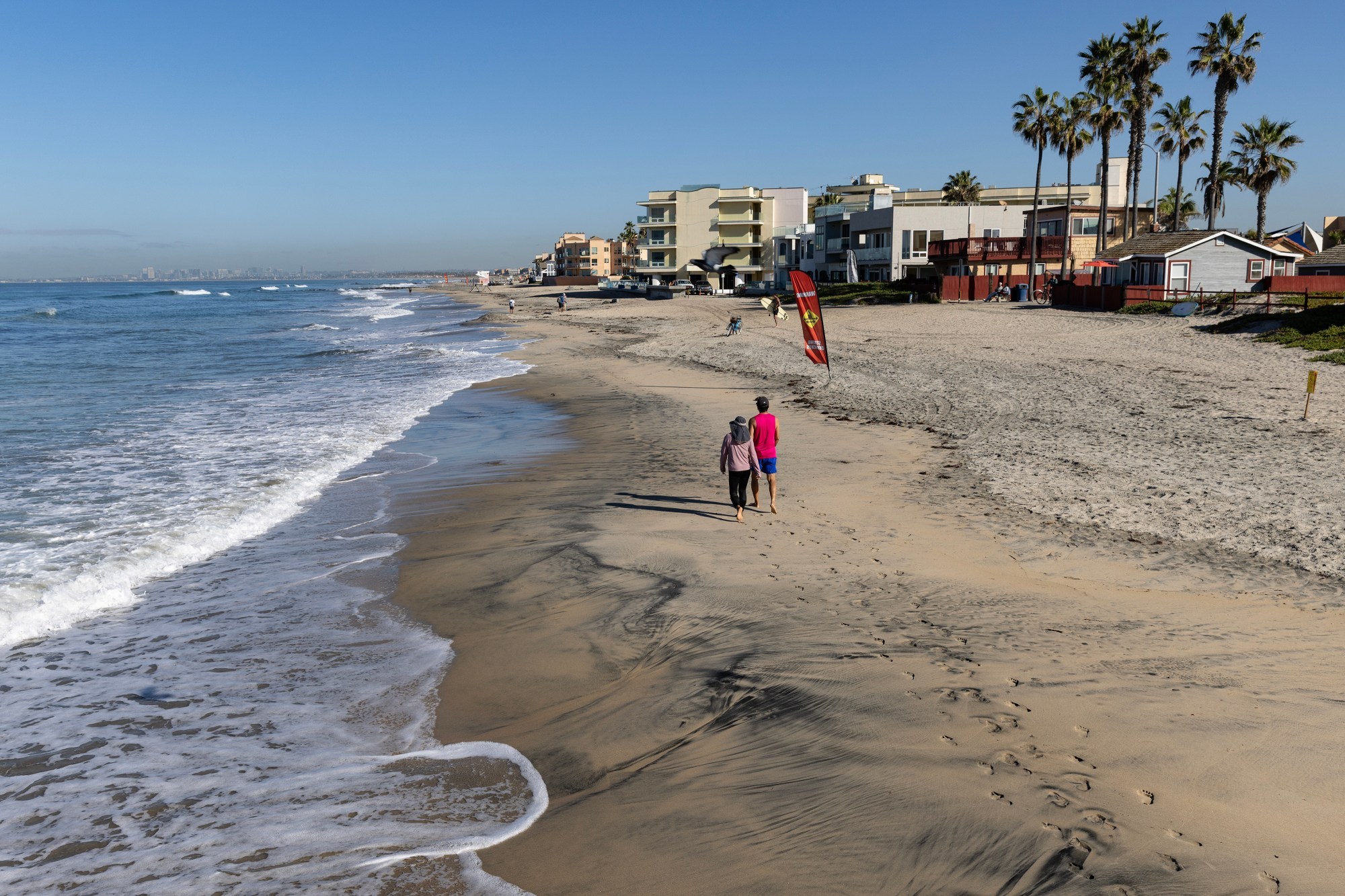
A Scripps coastal expert credits the city’s west-facing shoreline and unusual sand movement for sparing it, while officials outline storm drain, sandbag and shelter preparations ahead of a winter of high waves and king tides. Imperial Beach is flat, just a few feet above sea level and surrounded on three sides by the Pacific Ocean, Tijuana River and San Diego Bay. It’s always been prone to flooding. But the city at the southern-most tip of San Diego County may have an edge as it prepares for the weather phenomenon known as El Niño and what Bill O’Reilly, a coastal expert at Scripps Institution of Oceanography, said is “likely to be a very difficult winter.” Scripps scientists can now forecast, days ahead of time, when waves and tides are likely to spill over the shoreline.
They also can project how ground water beneath the city could cause flooding in the coming decades. Recently, Imperial Beach largely escaped the coastal flooding that struck Long Beach and Newport Beach during Tropical Storm Rachel. O’Reilly says the city’s geography is the main reason, but he warned that coming winter weather events could bring the kind of waves and high water the city has so far avoided this year. O’Reilly said the beaches hit hardest either face south or were affected by unusual sand movement
Source & Attribution
This One Place News story was acquired from news.google.com. OPN retains the source link and provenance for newsroom review.
Filed Under
Local News – San Diego • Weather