
Cold front to send severe storms to Texas Monday. Here’s where. – San Antonio Express-News
Cold front to send severe storms to Texas Monday. Here’s where. San Antonio Express-News
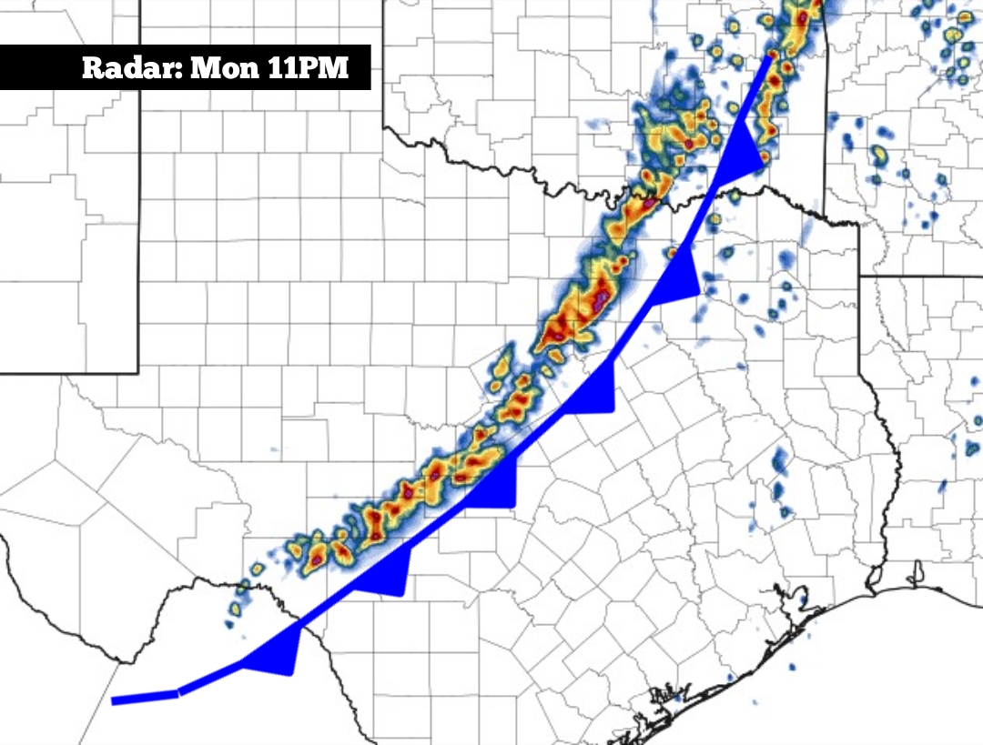
After what will be a warm Monday across much of Texas, a cold front is expected to push through the state during the evening and overnight hours. While many won’t see a drastic temperature drop immediately, the front is expected to bring strong to severe thunderstorms to parts of North and Central Texas. The front won’t arrive in South Texas until early Tuesday morning, which will keep the severe weather threat lower locally. However, scattered showers and thunderstorms will still be possible in the Alamo City, along with the rest of the Interstate 35 corridor. Here’s an overview of what to expect. Monday’s forecast A mild and very muggy morning is expected across South-Central Texas on Monday.
Temperatures in San Antonio will sit in the upper 60s, and there is a high chance of patchy, dense fog across the region. Visibility could fall to less than a quarter-miles at times, especially between 5 a.m. and 9 a.m. By the late morning, the fog will finally clear, allowing temperatures to rise steadily. San Antonio is expected to reach 80 degrees by noon before high temps top out at 82 to 83 degrees. Similar conditions are expected state-wide, with high temperatures rising into the mid-80s in several other cities, such as Austin, Waco, Dallas-Fort Worth and Houston. That's about 5 to 10
Source & Attribution
This One Place News story was acquired from news.google.com. OPN retains the source link and provenance for newsroom review.
Filed Under
Local News – San Antonio • Weather