
Developing El Niño becomes strongest on record weeks before expected peak
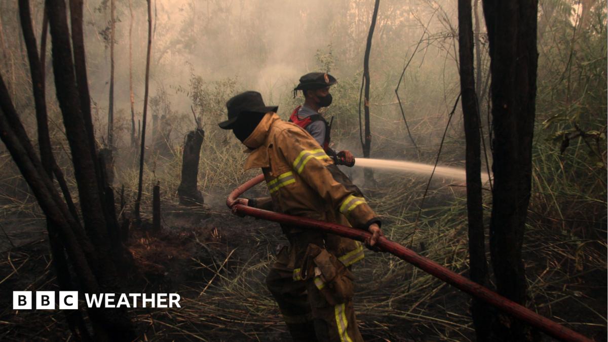
Scientists say the developing El Niño is now the strongest on record with weather impacts already being felt around the world. Wildfires fuelled by El Niño are affecting around 12.5 million people across Indonesia, according to the country's health ministry. The developing El Niño climate phenomenon is now the strongest on record, according to scientists monitoring Pacific Ocean temperatures. Daily sea surface temperatures in a key region of the central-eastern Pacific were 3.05C above average on 19 September – exceeding the previous record of 3.02C set during the very strong El Niño of 2015. Some longer-term measures of El Niño have not yet hit record levels but this is likely to change, with the peak not expected until later this year.
El Niño can cause major shifts in weather patterns around the world, with the Met Office saying many of the expected impacts are already being felt. El Niño set to be 'strongest in living memory', says Met Office What is El Niño and why could it mean record temperatures? El Niño is a naturally-occurring pattern, which happens about every two to seven years and tends to last for around a year. Trade winds that typically blow from east to west across the Pacific Ocean can weaken or even reverse, allowing warm water to spread eastwards. Heat is then released
Source & Attribution
This One Place News story was acquired from bbc.co.uk. OPN retains the source link and provenance for newsroom review.
Filed Under
World News