
Isaias's second act: After soaking rain, severe storms possible near DC – Capital Weather
Isaias’s second act: After soaking rain, severe storms possible near DC Capital Weather
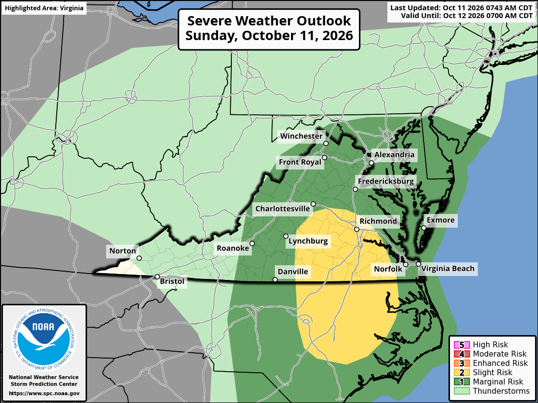
The greatest risk of strong storms and an isolated tornado is between 5 and 11 p.m., especially south of DC. So far, the remnants of Hurricane Isaias have produced abundant rainfall in the DC area, with amounts ranging from 0.5 to 1.5 inches through 10 a.m. Sunday. The storm's second act could bring a few severe thunderstorms late Sunday afternoon and evening, especially in the southern half of the region. One or more brief tornadoes somewhere in the area cannot be ruled out. After the windswept rain eases between late morning and early afternoon, expect a break in the steady rain, with just spotty showers through late afternoon. It will remain breezy, with easterly gusts of 20 to 30 mph.
The main window for thunderstorms, if they develop, will be from about 5 to 11 p.m. The biggest limiting factor will be a lack of atmospheric instability because of cloudy skies and cooler air wedged into the region. But where skies brighten this afternoon and warm, humid air pushes northward, the atmosphere could become unstable enough to support a few stronger storms. As an area of low pressure associated with Isaias's remnants approaches, wind shear — or changing winds with altitude — will increase. This could cause some thunderstorms to rotate and potentially spawn tornadoes. "Right now, it appears the
Source & Attribution
This One Place News story was acquired from news.google.com. OPN retains the source link and provenance for newsroom review.
Filed Under
Weather