
'Significant Event' With Tornadoes, Flooding Possible In Philly Area Saturday – Patch
‘Significant Event’ With Tornadoes, Flooding Possible In Philly Area Saturday Patch
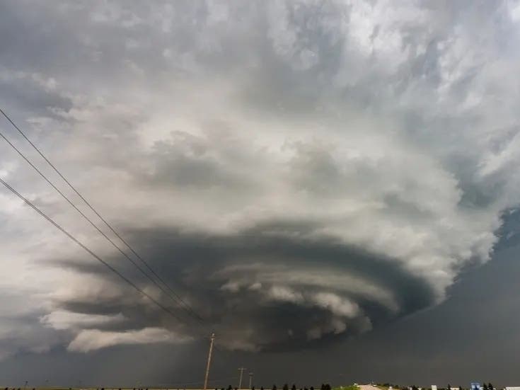
Multiple rounds of storms could bring severe impacts to the region this weekend. Forecasters are preparing for a "significant event" Saturday, with several rounds of storms targeting the greater Philadelphia area and damaging wind, flooding, and tornadoes possible. The front will arrive at some point before noon, and could continue throughout the day until after sunset. "While not everyone may feel directly impacted, impacts which do occur may be significant," the National Weather Service's Mt. Holly, New Jersey branch shared. "Stay weather aware." The first round of storms could arrive as early as 9 a.m., and continue through noon. Destructive wind is the most likely severe impact, with the entire area under a 30 to 44 percent probability, forecasters said.
"The storms on Saturday afternoon and evening in parts of the Northeast could be very disruptive for travel," Accuweather Senior Meteorologist Brett Anderson said. "Fortunately, the storms should be moving along, which will reduce the duration of heavy rainfall at a given location." A second round of storms is likely to hit the later afternoon and into the early evening hours. There is a 5 to 9 percent chance of tornadoes hitting, the National Weather Service said. The storm will help clear out the lingering severe heat as well as the Canadian wildfire smoke, with clearer conditions forecasted Sunday, and
Source & Attribution
This One Place News story was acquired from news.google.com. OPN retains the source link and provenance for newsroom review.
Filed Under
Local News – Philadelphia • Weather