
USGS Cooperative National Geologic Map Now Covers 50 States, U.S. Territories – usgs.gov
USGS Cooperative National Geologic Map Now Covers 50 States, U.S. Territories usgs.gov
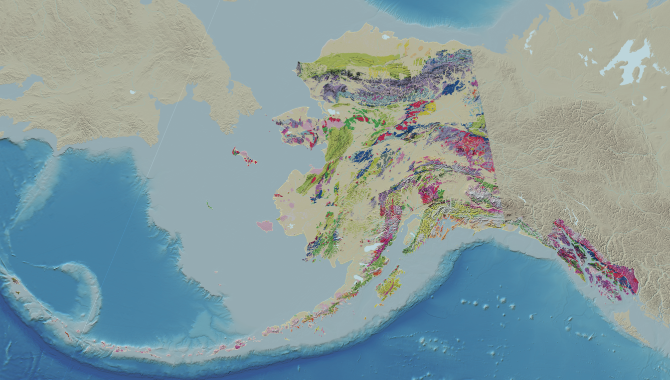
RESTON, Va. — The U.S. Geological Survey today released Version 2.0 of the Cooperative National Geologic Map, expanding coverage to include Alaska, Hawaii, and most U.S. territories. This version is the first digital map to provide standardized geologic data for all 50 states and most territories. Through the innovative map interface developed by the USGS National Geologic Map Database, anyone can view and interact with the map data to learn more about the Nation’s geologic framework, resources, and hazards. “Mapping our nation is critically important to identify and access the energy and mineral resources we need to support and grow the American economy,” Assistant Secretary of the Interior Andrea Travnicek said.
“Geologic maps highlight locations of minerals, energy potential, and other natural resources. Better information will drive the mineral and energy economy, support advanced manufacturing and national defense, and free us from mineral dependence on foreign adversaries.” Map version 2.0 brings some of the nation's most remote and geologically complex regions into standardized view for the first time, for example: "This comprehensive digital map now covers the geology of nearly the entire nation, from Alaska's North Slope to Kilaeua in Hawaii, Cerro de Punta in Puerto Rico, and Mount Katahdin, Maine. Alaska's extraordinary geologic resource potential is included for the first time," said USGS Director Ned Mamula. The first version
Source & Attribution
This One Place News story was acquired from news.google.com. OPN retains the source link and provenance for newsroom review.
Filed Under
U.S. News