
Winter 2026/2027 First Forecast: Super El Niño Drives a Major Weather Divide – Severe Weather Europe
Winter 2026/2027 First Forecast: Super El Niño Drives a Major Weather Divide Severe Weather Europe
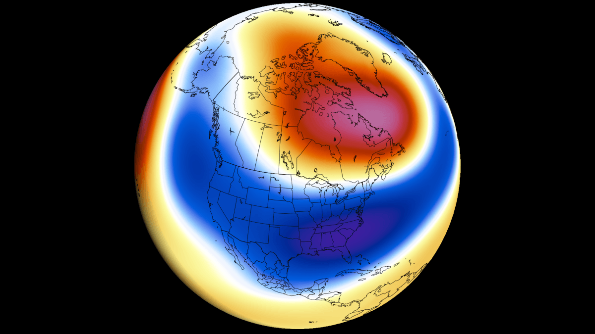
First Winter 2026/2027 forecasts show a strong Super El Niño pattern across the U.S. and Canada, with Polar Vortex signals also emerging UPDATE OCTOBER 7th, 2026: October long-range data trends colder and snowier for the U.S. and milder for southern Canada and Europe Winter 2026/2027 is shaping up around a strong Super El Niño, with the latest seasonal forecasts showing a clear split-flow pattern developing across North America and toward Europe. The large-scale setup is becoming well-defined, with several major forecast systems now pointing toward a stronger, more amplified winter pattern as the season progresses. In this first in-depth Winter 2026/2027 forecast, I break down the latest ocean data, historical Super El Niño winter patterns, the latest temperature and snowfall predictions, early Polar Vortex weakening signals, and the month-to-month evolution across the United States, Canada, and Europe.
I put this forecast together not just as a data update, but also as an accessible visual guide to help explain what is driving the upcoming season. Through regional maps, snowfall and ski-condition outlooks, Super El Niño analysis, Polar Vortex signals, and monthly forecasts, we will build a complete picture of what Winter 2026/2027 could bring. We are continuing to track the development of a Super El Niño event that is already a major global weather driver. This Super El Niño is on
Source & Attribution
This One Place News story was acquired from news.google.com. OPN retains the source link and provenance for newsroom review.
Filed Under
Weather