
Polar Vortex Split Forecast: The Earliest Stratospheric Warming on Record Is Coming – Severe Weather Europe
Polar Vortex Split Forecast: The Earliest Stratospheric Warming on Record Is Coming Severe Weather Europe
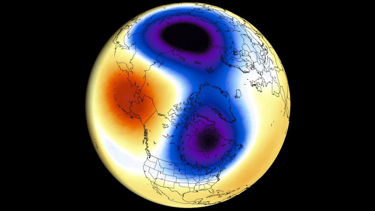
Polar Vortex forecast shows an early November split and an earliest Stratospheric Warming event on record. Here is what you need to know The Polar Vortex is heading toward a record early disruption. The latest forecasts show stratospheric winds collapsing toward a full reversal in early November, splitting the Polar Vortex into two separate cores. If the reversal happens, it will be the earliest Sudden Stratospheric Warming on record, by at least three weeks. An event this early is uncharted territory. With a Super El Niño already shaping the weather pattern, the impacts are harder to track than in mid-winter. But forecasts already show the first indirect links to the split cores, with cooler trends developing over parts of Europe and the eastern United States in coming weeks.
In this article, I look at the developing Polar Vortex split and the Stratospheric Warming, how deep it reaches through the atmosphere, and what it could mean for the weather in the mid-range. I also look at why the long-range data points to an even stronger disruption in mid-winter 2026/2027. The Polar Vortex is a broad winter circulation over the northern (and southern) hemispheres. You can imagine the Polar Vortex as a spinning wall over the polar regions, rising from the surface into the stratosphere (over 50 km/31 miles high), trapping the
Source & Attribution
This One Place News story was acquired from news.google.com. OPN retains the source link and provenance for newsroom review.
Filed Under
Weather