
Rain, Thunderstorms, And Risk Of Lightning Fires Loom Over Bay Area Ahead Of Major Cooldown – Patch
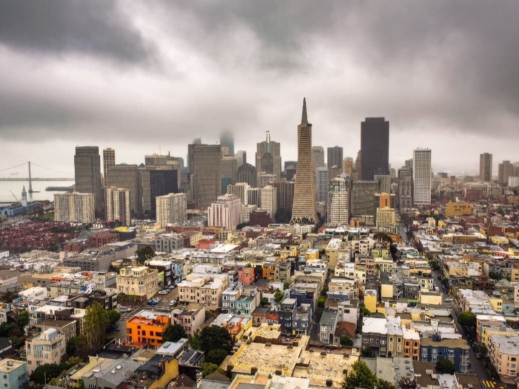
Rain, Thunderstorms, And Risk Of Lightning Fires Loom Over Bay Area Ahead Of Major Cooldown Patch
Forecasters warn of lightning-induced fire risk, even with a chance of rain and significant drop in temperatures. BAY AREA — Lightning-producing storms developed off the California coast Thursday morning, raising the possibility of thunderstorms in parts of the Bay Area as tropical moisture brings a chance of rain Thursday and Friday. On Thursday morning, the National Weather Service said that thunderstorms were developing offshore and moving into Santa Barbara and San Luis Obispo counties. SFGATE reported that dry lightning was striking parts of those counties Thursday morning. Forecasters said they were monitoring whether the activity would move farther north. Remnants from Tropical Storm Iselle, which formed off Mexico’s Pacific coast and has since weakened into a post-tropical cyclone, means that there is a roughly 15-20% chance of rain in parts of the Bay Area from Thursday morning into Friday, including in San Francisco, Pleasanton, Oakland, and as far east as Livermore and Concord, according to the National Weather Service.
This will also accompany a significant temperature drop. In Pleasanton, temperatures are expected to drop from 88 Thursday to 80 Friday, to 76 Saturday and 73 Monday, while San Francisco is expected to drop from 74 degrees Thursday to 61 degrees Monday. By Monday, temperatures across the region are expected to run 5 to 15 degrees below seasonal averages. However, the
Source & Attribution
This One Place News story was acquired from news.google.com. OPN retains the source link and provenance for newsroom review.
Filed Under
Local News – San Francisco