
Tuesday morning weather forecast – FOX 5 Atlanta
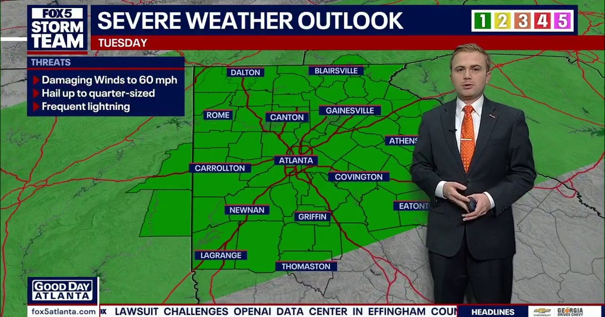
Tuesday morning weather forecast FOX 5 Atlanta
Heavy rain and thunderstorms moved across North Georgia Tuesday morning shortly after 6 a.m., triggering a flash flood warning and creating the possibility of isolated severe weather later in the day.The Flash Flood Warning includes parts of Murray, Gilmer and Gordon counties. Some areas near Carters Lake received more than an inch of rain in roughly two hours, and additional rain could lead to flooding along U.S. Route 411 and surrounding roads.Drivers should never attempt to cross a flooded roadway.As of 6 a.m., heavy showers were also moving through parts of White and Gilmer counties, including areas near Amicalola Falls. Another storm was approaching Dawson County.Closer to metro Atlanta, showers and storms developed near Cartersville, along the Polk-Paulding county line and near the Cobb-Fulton county line.
The Cobb-Fulton storm was moving toward Alpharetta.Storms are expected to be most widespread during the late morning and early afternoon, although additional activity could continue through the late afternoon. One or two storms could become strong under a Level 1 severe weather risk.The storms arrive on the first official day of fall. The autumn equinox occurs at 8:04 p.m., and cooler temperatures are expected to follow later this week.⛈️ Tuesday: Periods of heavy rain and thunderstorms, especially during the late morning and early afternoon. An isolated strong storm is possible.🌧️ Tuesday afternoon: Scattered storms
Source & Attribution
This One Place News story was acquired from news.google.com. OPN retains the source link and provenance for newsroom review.
Filed Under
Local News – Atlanta